[2.3] Experimental __
These are experimental instruments, sold as such. Before you buy:
If a unit fails, tell us. We want to find out how and why, and make the next one better.


Surveys from 1 to 50 meters deep. As a rule of thumb, you see about half as deep as the spread between your outermost probes. Built by hand from parts sourced on three continents, it gives you the most consistent and sensitive Electrical Resistivity Tomography (ERT) readings we know how to make. Water, mineral deposits, caves and tunnels, archaeological features, and buried caches all show up.
Push metal probes into the ground and pass a current between them. The ground resists that current, and the resistance is measured in ohms. What you find depends on how hard the current has to work: a high-resistance anomaly points to a void, cave, or tunnel; a low-resistance anomaly points to metal, minerals, or water.

In order to create an Image with the device, 8 to 16 probes are inserted into the ground and all possible combinations are scanned. The device guides you through this process and automatically creates an image of what is underground.

[02] Capabilities By Domain __
Your mission is our mission. We put subsurface intelligence in the hands of the people who need it most: defense and security teams locating unexploded ordnance, concealed tunnels, and buried caches before anyone is standing on top of them. The same instruments and the same discipline serve industrial teams mapping what is under a site, and researchers who need survey-grade data in hard places. Every kit is built to deploy fast, run in the field, and come home.
Request a Field Test

Schedule Training
Purchase a Research Kit
[2.1] Military Applications
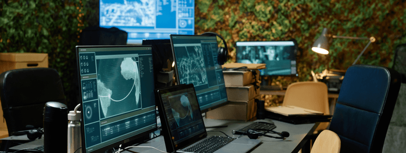
Magnetometry and resistivity surveys that find what is under the ground before your people are on top of it: unexploded ordnance, concealed tunnels, buried caches. Readings are processed on site, so the team gets an answer where it stands, not back at base. Kits are compact, ruggedized, and can be tested to your agency's own protocols before deployment.
Request a Field Test
[2.2] Industrial Applications
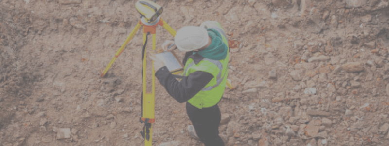
Instruments built for hostile ground make a job site easy ground. Magnetometry and resistivity surveys map foundations, pipelines, voids, and buried utilities before you build on them, dig through them, or rely on them. Readings become a picture your engineers can plan against, so problems are found on a screen rather than in the ground.
Schedule Training
[2.3] Research & Development
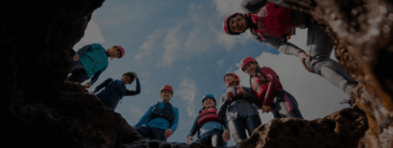
Survey-grade data from places that don't cooperate: caves, remote sites, terrain with no power and no road in. For researchers in geophysics, materials science, and environmental studies, the software captures faint signals other tools discard, so your field time goes to the question rather than the instrument.
Purchase a Research Kit

© 2026
Douglas Mining LLC
All Rights Reserved